We combine advanced technology with deep local expertise to deliver precise, high-resolution land mapping solutions throughout Connecticut.
Specializing in LiDAR surveys, we offer efficient, cost-effective, and detailed data tailored to industries such as construction, forestry, infrastructure development, environmental management, and more.
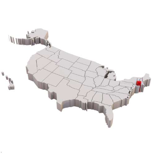
Whether you’re planning a major infrastructure initiative or require accurate topographic data for land development, our team of certified professionals is dedicated to empowering you with reliable information for confident decision-making. Serving Connecticut’s diverse landscape—from Hartford’s urban areas to the coastal communities near New Haven and Bridgeport—we handle projects of all scales with unmatched precision and efficiency.
Lidar Survey Connecticut
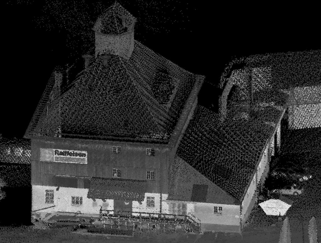
Aerial Lidar Survey
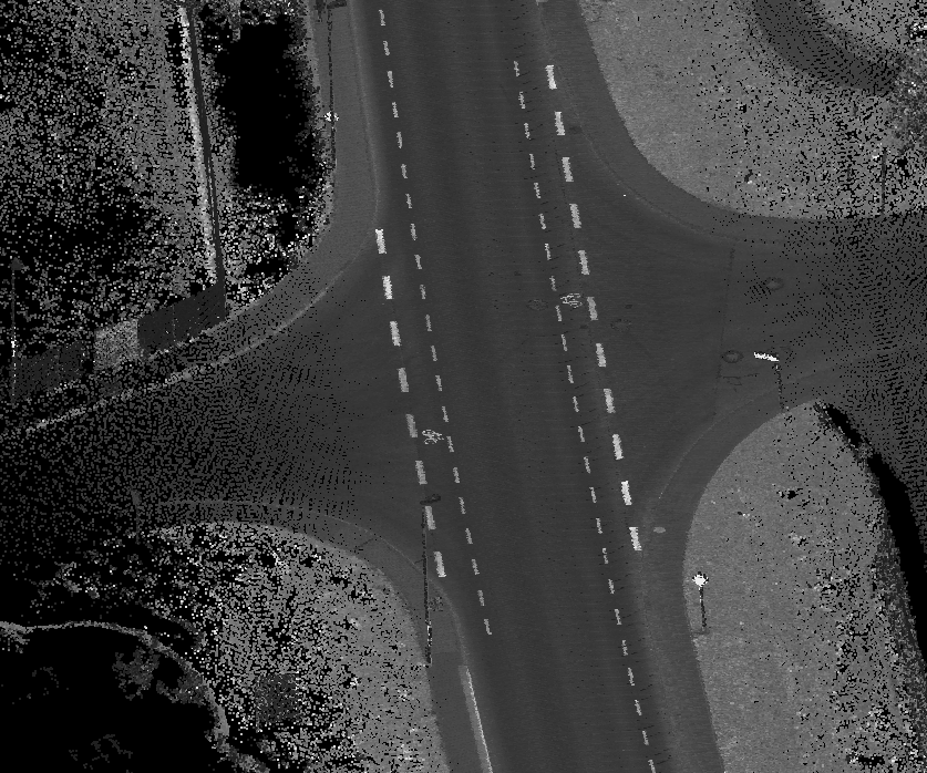
Mobile Mapping
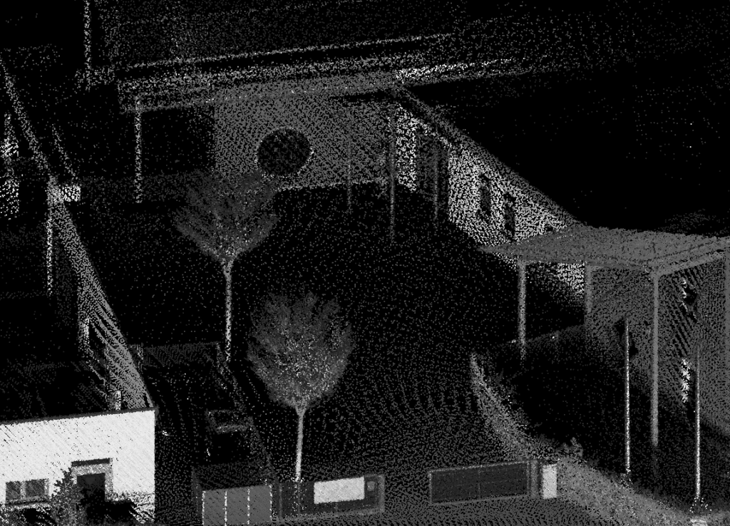
Lidar Scanning
Lidar Survey across your State
Bridgeport, Stamford, New Haven, Hartford, Waterbury, Norwalk, Danbury, New Britain, West Hartfort & Greenwich