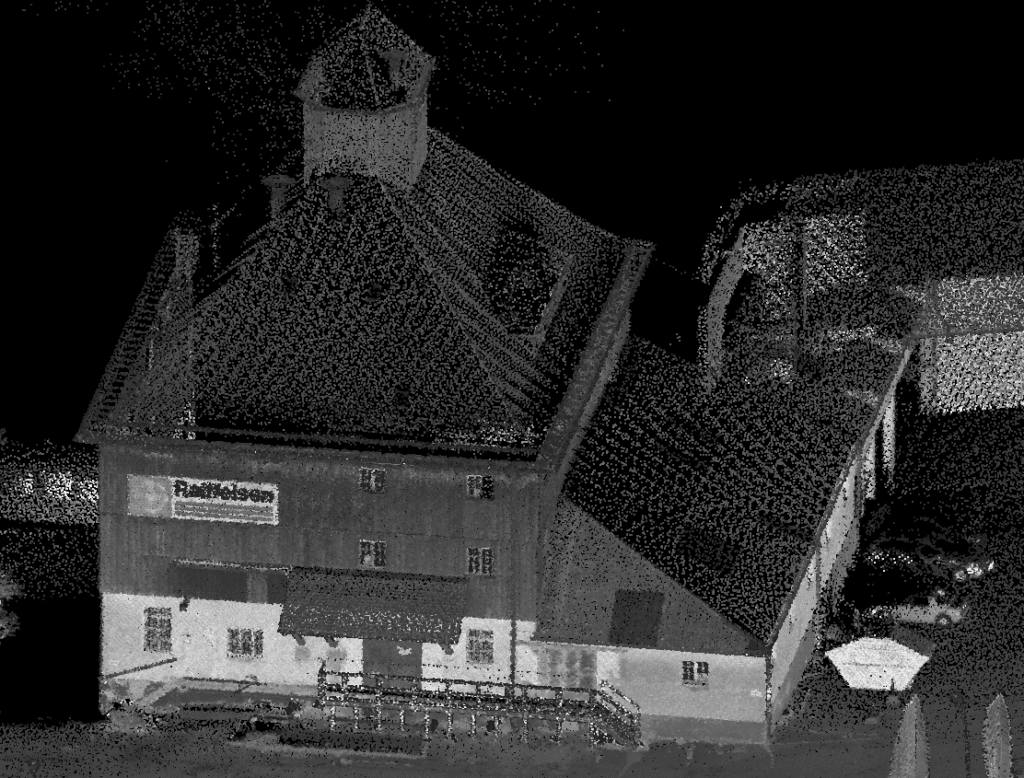
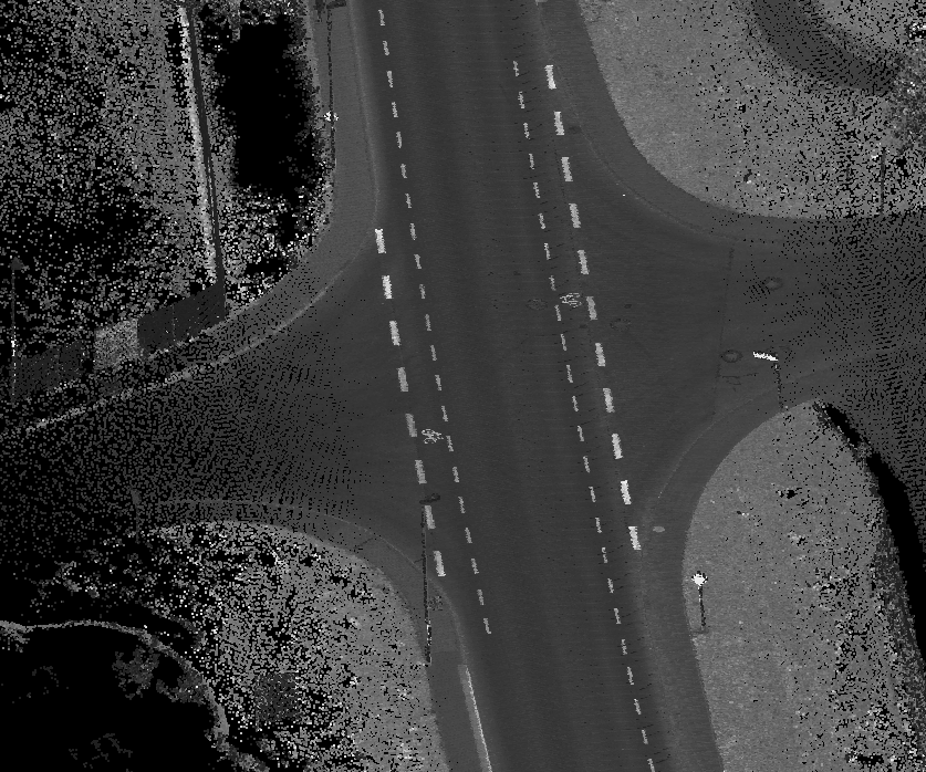
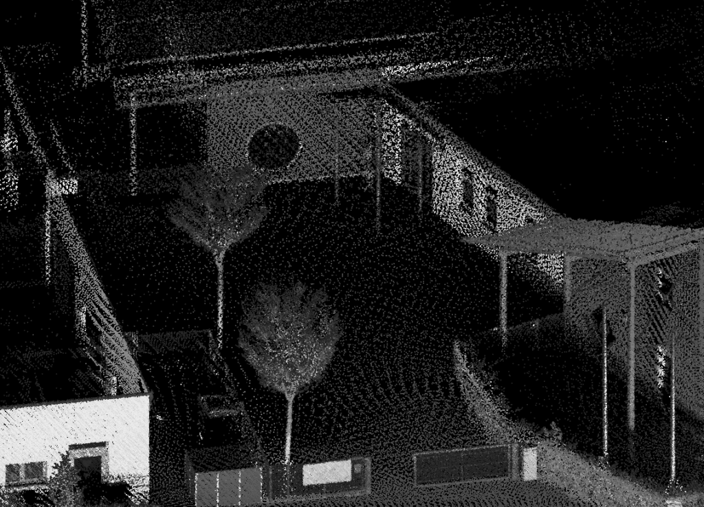
We bring cutting-edge technology and deep local expertise to deliver accurate, high-resolution land mapping solutions across Alabama.
Specializing in LiDAR surveys, we provide fast, cost-effective, and highly detailed data for a wide range of industries, including construction, forestry, infrastructure development, environmental management, and more.
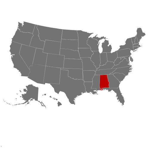
Whether you’re planning a large-scale infrastructure project or need precise topographic data for land development, our team of certified professionals is committed to helping you make informed decisions with confidence. Serving the diverse terrain of Alabama—from the rolling hills of Birmingham to the coastal plains near Mobile—we’re equipped to handle projects of any scale with unmatched accuracy and efficiency.