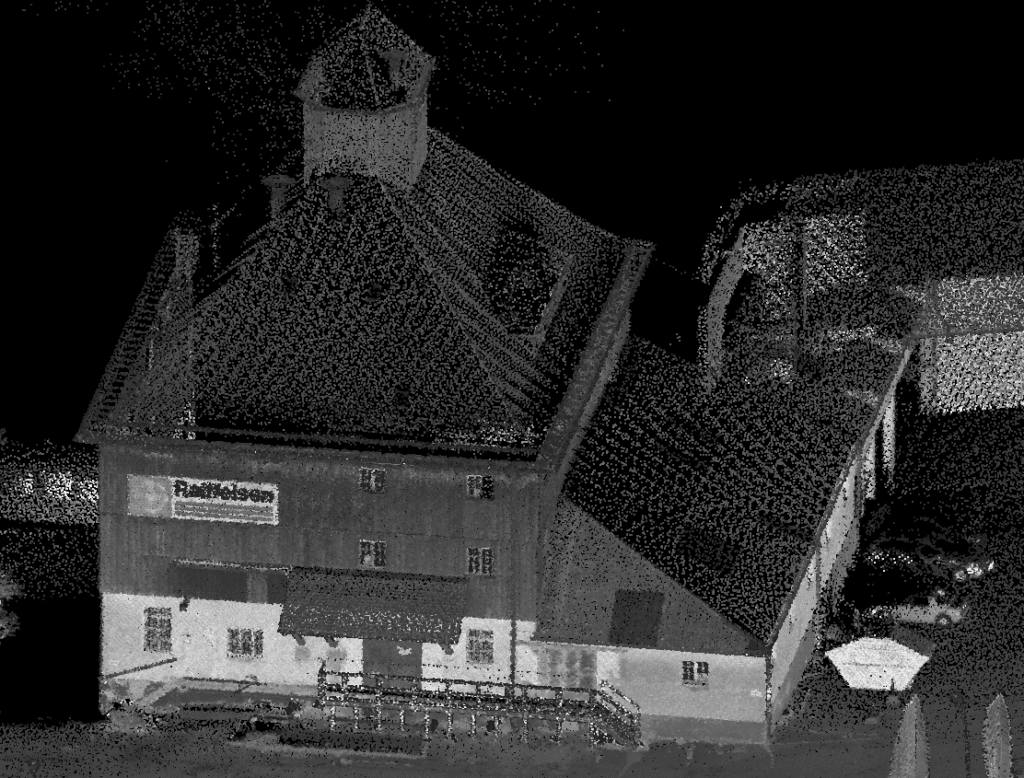
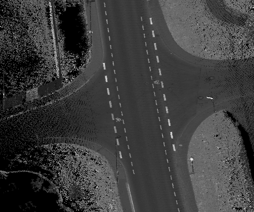
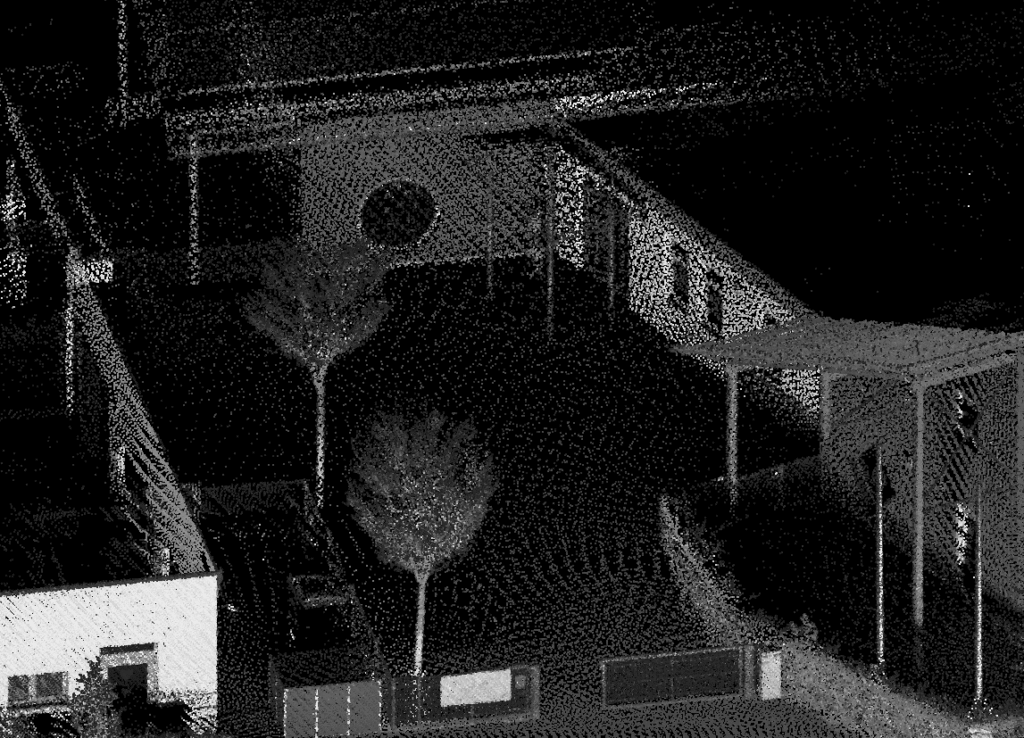
We combine advanced technology with extensive local expertise to provide precise, high-resolution land mapping solutions throughout Alaska.
Specializing in LiDAR surveys, we deliver rapid, affordable, and highly detailed data tailored for industries such as construction, forestry, infrastructure planning, environmental management, and more.
Whether you’re launching a large infrastructure project or require detailed topographic information for land development, our team of certified specialists is dedicated to helping you confidently make informed decisions. Equipped to handle Alaska’s diverse and challenging terrain—from Anchorage’s rugged mountains to Fairbanks’ expansive interior—we ensure unmatched accuracy and efficiency on projects of all sizes.