We blend cutting-edge technology with deep local expertise to deliver accurate, high-resolution land mapping solutions throughout Colorado.
Specializing in LiDAR surveys, we provide efficient, cost-effective, and detailed data tailored for industries such as construction, forestry, infrastructure planning, environmental management, and beyond.
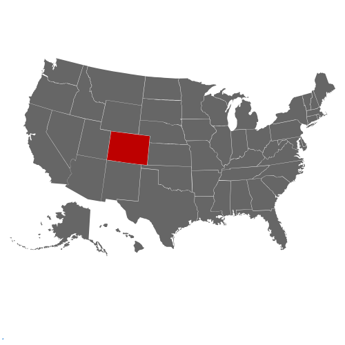
Whether you’re undertaking a large-scale infrastructure project or require precise topographic data for land development, our certified professionals are committed to helping you make informed, confident decisions. From the Rocky Mountains near Denver and Boulder to the expansive plains surrounding Colorado Springs, we’re equipped to handle projects of any size with unparalleled accuracy and efficiency.
Lidar Survey Colorado
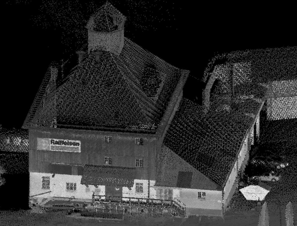
Aerial Lidar Survey
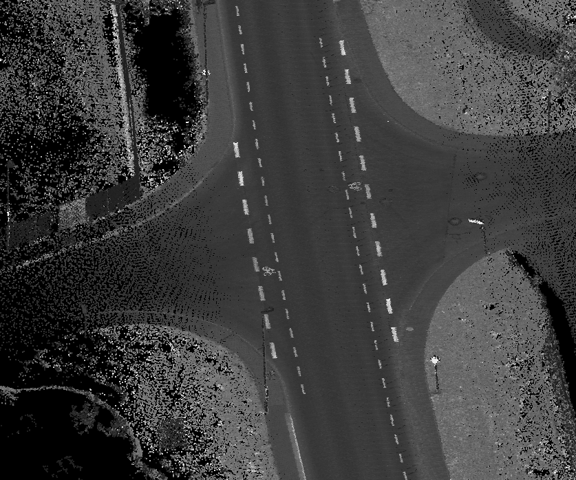
Mobile Mapping
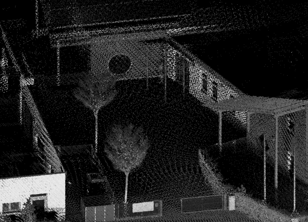
Lidar Scanning
Lidar Survey across your State
Denver, Colorado Springs, Aurora, Fort Collins, Lakewood, Thornton, Arvada, Westminster & Pueblo