We combine advanced technology with deep local expertise to deliver precise, high-resolution land mapping solutions throughout Florida.
Specializing in LiDAR surveys, we provide fast, cost-effective, and detailed data tailored to industries such as construction, forestry, infrastructure development, environmental management, and more.
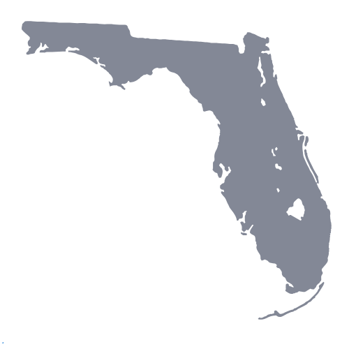
Whether you’re planning a large-scale infrastructure project or need accurate topographic data for land development, our certified professionals are dedicated to helping you make confident, informed decisions. Serving Florida’s diverse landscape—from the bustling urban areas of Miami and Orlando to the coastal regions of the Gulf Coast and Atlantic—we’re equipped to handle projects of any size with unmatched accuracy and efficiency
Lidar Survey Florida
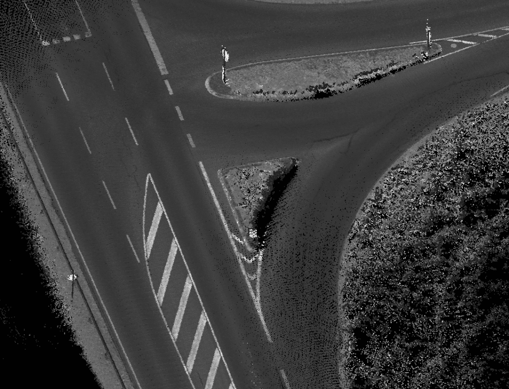
Aerial Lidar Survey
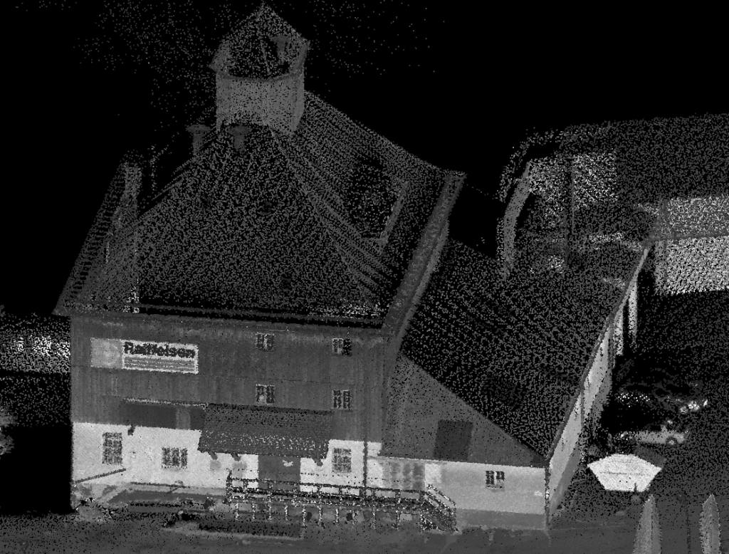
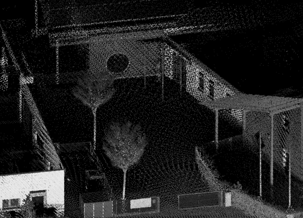
Mobile Mapping
Lidar Scanning
Lidar Survey across your State
Jacksonville, Miami, Tampa, Orlando, St. Petersburg, Hialeah, Port St. Lucie, Cape Coral, Tallahassee & Fort Lauderdale